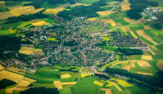
Geoinformatics
You are looking for an individual geo-information system that meets the highest demands in terms of functionality and security? We develop it on highest quality level!
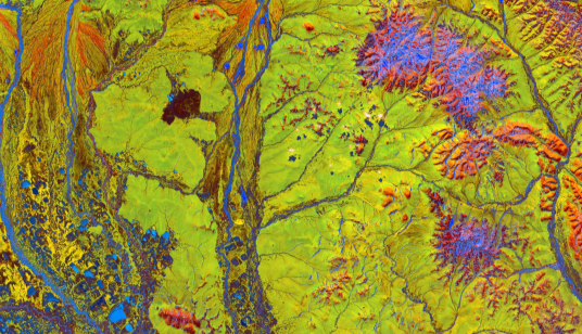
Natural Hazards
You want to know which areas are affected by disasters and what damage is caused? We localize risks, quantify damage potential and develop action strategies.
Geo Solutions
You need geodata, maps or platform services? Through our partnernetwork we have access to geodata from various sources, for customized business solutions.
Industries

Insurances
Systems for risk assesment
Mapping technology

Telecommunication
Network expansion
Geospatial applications
Mapping technology
Geospatial data processing

Authorities
Geospatial applications
Geospatial data sets
Risk assessment
Flood & hazard maps
Counties and Communities
Flood & hazard maps
Risk communication

Energy
Geospatial data
Geospatial consulting
Application development
R&D
worlwide projects focusing on natural hazards and risks
Focus on
Events
Currently no events
Partners & Customers